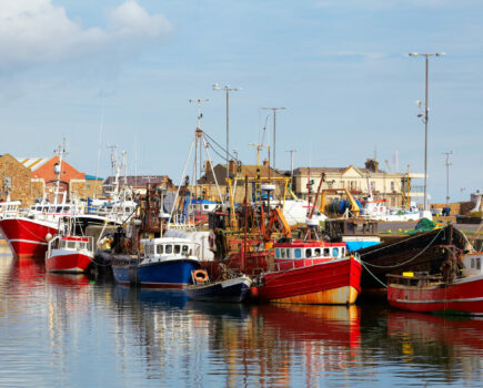
Researchers at the Irish Marine Institute are calling on fishers from around the country to participate in a new project aimed at reducing unwanted catches across different fishing methods in an ecological, economic and socially sustainable way.
The project, IFISH, will use a behavioural approach involving near-real-time online mapping of unwanted catches in order to simultaneously help fishers adhere to EU quotas and promote sustainability of fish stocks. The project is funded by a Science Foundation Ireland SIRG grant.
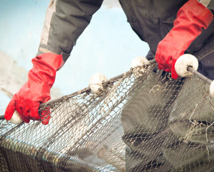
In order to adhere to quotas, fishers are adopting an array of technical measures that help increase selectivity. However, marine researchers around the world are now considering ideas at a more sophisticated level of planning. For example, scientists at the Marine Institute have previously worked on a project to develop probability maps to help understand where and when the species subject to quotas were most likely to be caught.
Dr Julia Calderwood, principal investigator on the project, said: “The maps didn’t reveal anything truly surprising. Fishers told us that they were generally useful as a reference tool, and broadly agreed with their own knowledge. But they were limited because they were based on catch information collected over broad areas, and over broad timeframes or seasons.
“So the fishers said it might be something that they would check in on every now and then, but the maps weren’t going to be used every day, because they weren’t giving them the up-to-date information on where the fish are right now.”
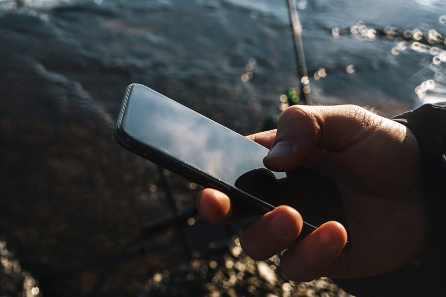
Dr Calderwood and her team then decided to try something more innovative. The idea is to create a mobile phone app using a near-real-time mapping system to provide advice to fishers about where not to fish to avoid catching unwanted species or sizes of fish, helping them to stay within their quotas and improve their catch efficiency.
“That’s the IFISH project,” she said. “The idea is for skippers to provide live information on unwanted catches they encounter using our app. So, for example, they could log in and very simply and easily click on the map to indicate that, say, right here, right now, we’re catching lots of something that we don’t want, like undersize fish or species which aren’t marketable.
“The app would then create an alert that would be shared among vessels who are signed up to use the app together, helping them to avoid areas with this unwanted catch. It’s a win-win situation for everyone, but we need fishers to help us by signing up to help develop and test the app.”
The project aims to have an app in use during 2022, but is currently designing what is needed for this app alongside industry so that the final product best addresses their needs. The project is currently asking fishers to sign up and join in the design process.
This story was taken from the latest issue of Fishing News. For more up-to-date and in-depth reports on the UK and Irish commercial fishing sector, subscribe to Fishing News here or buy the latest single issue for just £3.30 here.