Breakthrough on fishing industry input into wind farm siting
5th March 2025
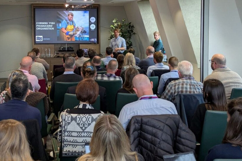
The Cornish FPO presented the most detailed fisheries dataset yet to the Crown Estate recently, in the latest round of search areas for floating offshore wind farms in the Celtic Sea.
Representatives from the NFFO, SFF and South West POs were at the meeting in London, on what was described as ‘a highly important day’ in ensuring the voice of fishing is heard ‘loud and clear’ in this crucial area of work.
The CFPO presented detailed plotter data on fishing vessel operations gathered from members and then converted by Seafish into geographic information system (GIS) mapping software to make accessible to the Crown Estate.
Reviewing Crown Estate and government datasets, the CFPO said it was clear how much more advanced the fishing industry’s data is. “Coupled with CFPO members’ translation of the data, it is clear how critical fishing’s voice is in the marine planning space,” said the CFPO.
Chris Ranford, chief executive of the CFPO, said the collaborative day started with a presentation from the Crown Estate explaining its vision and what it is doing. The industry then responded with ‘the best evidence we’ve got’.
He told Fishing News: “We’ve collected members’ plotter data, which is far more detailed than the VMS datasets that are normally used. VMS shows an overall trend of where boats go and what they might do, but it misses out a lot of how a netter, a trawler or a boat using another fishing method might work a piece of ground.
“We’ve collected a subset of data from CFPO members, and Seafish has converted that into GIS format, and then overlaid that on the various areas of search the Crown Estate has marked out in the Celtic Sea. It’s a way for us to build a really detailed base of how those grounds are worked, and then look for where there’ll be less impact on the fishing industry, or little or no impact.
“It’s not just showing where fishing takes place, but where there is space where it doesn’t – so they’re making decisions based on hard data and evidence, and not assumptions.
“It means we can formally respond to the Crown Estate, who up to now have used VMS data to come up with their assumptions of where fishing may or may not take place. We’re making sure we cover every angle and get as much detail as possible.”
He added that it might be asked why the Crown Estate is still looking at the Celtic Sea, given its importance to the fishing industry.
He anticipates that other POs and the national federations will be able to follow the CFPO and build their own datasets for the North Sea and other areas.
“We have yet to define the next steps, but we know it’s for us to change this into something useful and make sure we’re engaging at that level with that detail,” he said.
“I think the Crown Estate was responsive to our presentation. They know the fishing grounds in the South West are important, and that they’ve got to handle this extremely carefully.”
He said having active fishermen in the room explaining what their data means was ‘the missing piece of the puzzle’. This was also key to good decision-making about fishing in Marine Protected Areas, he said.
“Cefas and Defra are using data to make their decisions, but they’re missing that key industry translation, that industry voice.
“It’s still a very complex situation, but I would say the Crown Estate is welcoming the contribution we’re making, the level of knowledge and detail the fishing industry has on those grounds.
“It’s a collaborative process, but it’s up to us to be proactive – as we have been for the last few years since the Crown Estate has taken an interest in the Celtic Sea.
“We can’t wait for someone to ask us to contribute something, or wait for a deadline. We’re saying: ‘This is us, and this is what we do and why we go there, and this is the impact you’re going to have.’
“There’s no excuse now for the Crown Estate not to understand what’s actually happening and the impact the wind farms will have.”
Speaking after the event, one CFPO member said: “The meeting went well, but it all comes down to what happens next. If they follow through and make us a statutory consultee, that’s a step in the right direction.
“As one of the biggest sectors impacted by marine spatial challenges, it’s pretty poor they haven’t already put us in that position. We know what we’re talking about and we deserve to be taken seriously, with a guarantee that our credibility holds weight.
“It felt good to be in the room, part of the decision-making, but it’s the actions that count.”
Seafish ‘massive help’ in converting data
Chris Ranford said that the help of Seafish over the last six months in converting fishermen’s plotter data into GIS format for the Crown Estate had been invaluable.
GIS mapping is the use of geographic information system software to create, manage and analyse data linked to maps. This helps users understand relationships, patterns and geographic context.
GIS connects data to a map, combining location data with descriptive information, and transforms data into maps, colours and shapes. It can tie a geospatial point with latitude and longitude to a specific data element, and measure the distance between points to find relationships between them.
It is used by governments, businesses and researchers to gain a better understanding of spatial relationships and make more informed decisions about spatial management.
This story was taken from the latest issue of Fishing News. For more up-to-date and in-depth reports on the UK and Irish commercial fishing sector, subscribe to Fishing News here or buy the latest single issue for just £3.50 here.
Sign up to Fishing News’ FREE e-newsletter here.